I wanted to venture out today on a long ride, so I first checked the weather to see from which direction the wind was coming. Southeast, all day, getting stronger as the day went on.
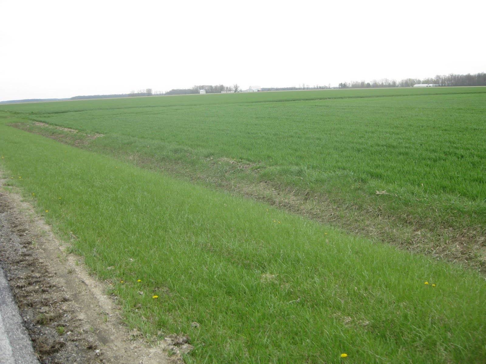
So, at 8:00 am, I mounted the Trek, and headed due east, into Ohio. This is the lake plain of the former Lake Maumee, left behind when the last glaciers melted. I have no idea when the lake disappeared, but it left a magnificent swamp, which has been drained, and now is magnificent farmland.

The price of wheat last fall was at an all-time high, and folks throughout this part of the midwest planted all the wheat they could get a hold of. This wheat was planted last fall after the soybeans where harvested, sprouted, then lay dormant over the winter, and woke up a little over a week ago and has started to grow. It'll be ready to harvest in mid-July.
I passed several double track roads like this one. They go on for miles, apparently providing access for farm machinery and probably little else.

After a while, I came to Paulding.

Paulding has a cool, old courthouse.

Back out on the lake plain.

Here's the Auglaize River. About 15 miles north of here is Defiance, OH, and where it empties into the Maumee River. From there, the Maumee flows maybe another 40 miles, into Lake Erie.

I've been looking forward to riding over this way for some time. County Road 171 runs along the Auglaize, and it's the only curvy road around for many, many miles.

In a landscape of straight roads every square mile (Thomas Jefferson's idea), it is pleasing to ride on a curvy road.

The terrain is different around the river. The landscape is much different here than a mile to the east or to the west.

The Auglaize was an important river to the Native Americans, and was important to the early history of our country.


Just outside of Oakwood, is this iron railroad bridge. They don't build 'em like this anymore.

Look at the limestone-block abutment. These blocks were cut from solid limestone, and have probably been in place for 100 years. Concrete doesn't last this long.

I followed Ohio State Road 66 south, and for a while, it followed the Auglaize.

Then it straightened out, as most roads do in this region.

I turned back to the west on this 1-lane road, T72. It had been recently paved, and I had the wind to my back, and the riding was good!

What's this? T72, my personal road, is a river road too?

Several miles north, when I was still headed east, I was looking for this, the Miami and Erie Canal. I didn't notice it, and I'm wondering if it may have been filled in and farmed over, as it has been in many places.

Here's the canal looking the other way. Many sections that haven't been filled in look like this. The Miami and Erie Canal is part of the canal system built in the 1830's throughout Ohio, and extended into Indiana. George Washington, in the 1780's, envisioned a waterway into the interior, west of the Appalachian Mountains. It took 50 years, but the system that was built far exceeded what George could have imagined. In 1851 the state of Indiana went bankrupt trying to pay for the Wabash and Erie Canal.

Further down, T72 turned to gravel, but the wind didn't let me down.

Getting closer to Indiana, T72 widened to two lanes.

Just east of the state line, a wind farm is being built. I was able to get close to one of the new windmills. These things are huge!

The plan is to build 55 wind turbines here. That will be quite a site once they are all in operation.

As I was riding, I noticed this coming down the road.

It's nacelle, which sits 240 feet above the ground. The generator is inside.

There it goes. Soon that turbine will be producing electricity to charge the batteries for my bike light.

Just past the grain bins lies Indiana.

Hope you were able to get out to ride today.
Happy riding!
Bill


